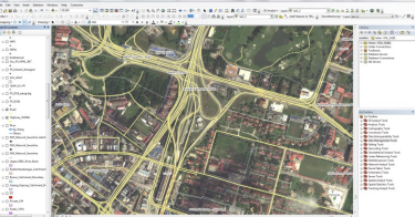
GIS for Infrastructural & Civil Engineering

Civil engineering is about developing and sustaining infrastructure. Geographic Information System (GIS) technology provides the tools for creating, managing, analysing, and visualizing the data associated with developing and managing infrastructure. GIS allows civil engineers to manage and share data and turn it into easily understood reports and visualizations that can be analysed and communicated to others. The use of GIS in infrastructural and civil engineering works:
- Data management
- Infrastructure management
- Site analysis
- Borehole data management and analysis
- Critical infrastructure protection
- Slope stability analysis
- Slope management system
- Planning and site location
- Environmental analysis
- Infrastructure design
- Construction management
- Data collection and as-built surveying
- Operations and maintenance
