Spatial & Digital
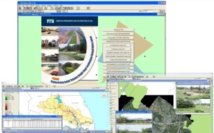
DNASB integrates engineering experience with in-depth knowledge of geospatial technology information and application development tools. We use advanced GIS features to create and store engineering data digitally instead of manually.
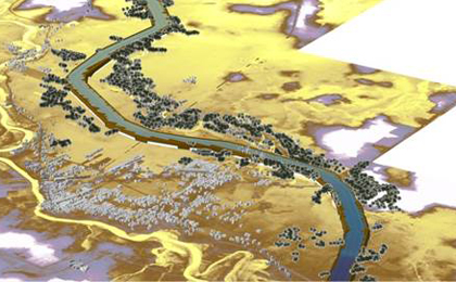
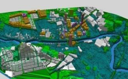
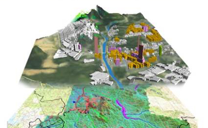
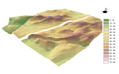
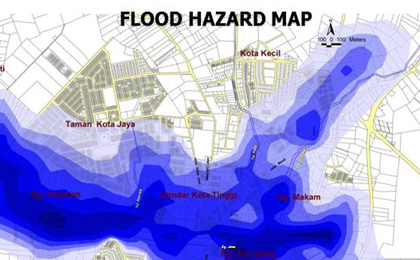
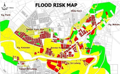
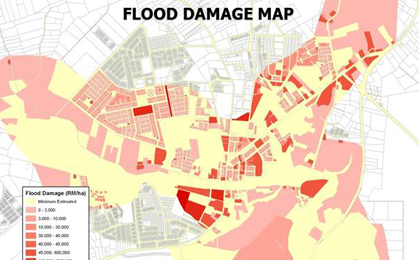
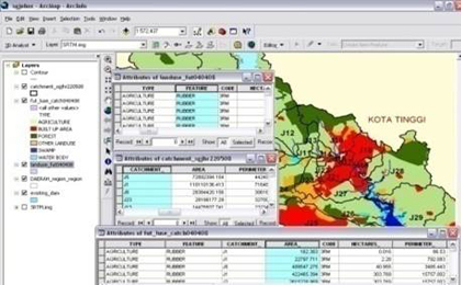
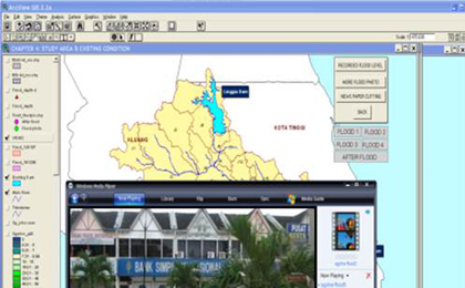
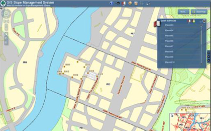
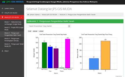
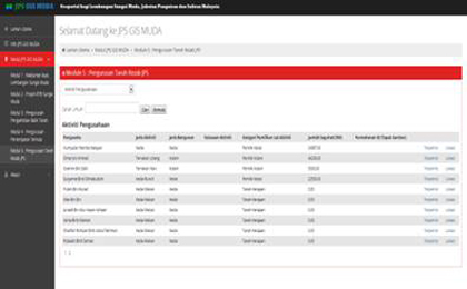
DNASB has experience in providing accurate GIS data and analysis for Decision Support System, which allows for improved assessments of long-term planning and policy decisions, in addition to the major thrust of improving short-term and mid-term operations, scheduling and planning decisions.
The success of any GIS is dependent on the quality of existing data. DNASB has supported hundreds of Clients in their data creation, manipulation and integration. GIS in DNASB provides customer focused solutions in the following specialty areas:
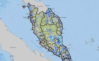
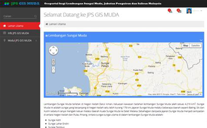
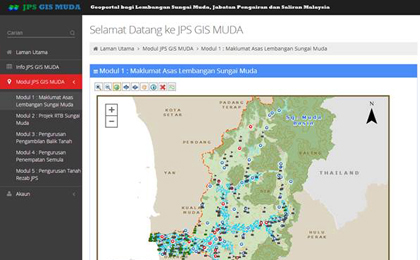
- Water resources (river)
- Coastal application
- Highway management
- Civil and structural